
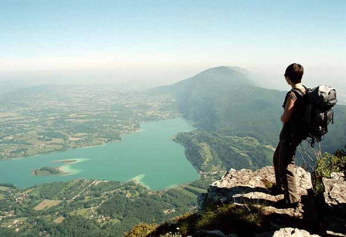
Mont Grêle summit
General informations
- Cartographic positioning : Unknown
- Reference position : Unknown
- Positive denivellation : 875m
- Negative denivellation : 875m
- Delicates passages : Unknown
- Precision on the marking : Unknown
- Average altitude : Unknown
- Altitude maximum : 1425m
- Distance : 17km
- Average slope : Unknown
- Hours : 05h30
- Roaming period : Unknown
About
Physically challenging walk starting out from Attignat-Onicn, Lépin or Aiguebelette, with a change in altitude of 800 m and a clear view of the lake and its surrounding area (5 ½ to 6 ½ hrs, depending on the route).
Services & facilieties
- Pets welcome
Opening
All year round.