Château Richard and Croix du Signal
General informations
- Cartographic positioning : Unknown
- Reference position : Unknown
- Positive denivellation : 1031m
- Negative denivellation : 1031m
- Delicates passages : Unknown
- Precision on the marking : Unknown
- Average altitude : Unknown
- Altitude maximum : 1458m
- Distance : 16km
- Average slope : Unknown
- Hours : 06h00
- Roaming period : Unknown
About
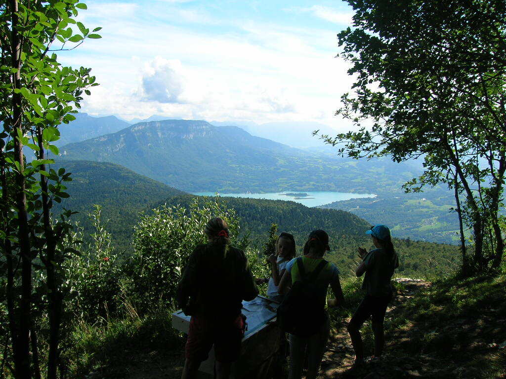
Two magnificient view points over the Alpes, Lake du Bourget and Lake Aiguebelette. Challenging route (4 to 6 hours walking).
Services & facilieties
- Pets welcome
Opening
All year round.