

Hiking along the Santiago de Compostela - GR 65 route
General informations
- Cartographic positioning : Unknown
- Reference position : Unknown
- Positive denivellation : 400m
- Negative denivellation : Unknown
- Delicates passages : Unknown
- Precision on the marking : Unknown
- Average altitude : Unknown
- Altitude maximum : Unknown
- Distance : 33km
- Average slope : Unknown
- Hours : 04h00
- Roaming period : Unknown
About
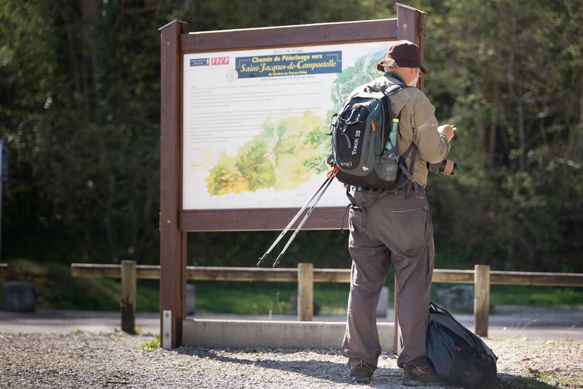
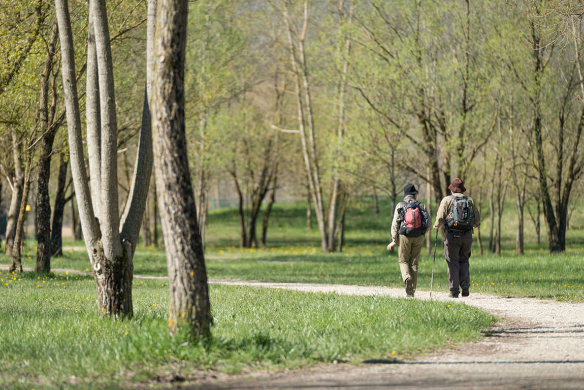
The Santiago de Compostela (GR 65) crosses our region from the Col du Mont Sion to the Pont du Fier bridge. Follow in the footsteps of the pilgrims of the Middle Ages and explore our landscapes and Jacobean heritage.
Maximum altitude: 1,433 m
Services & facilieties
- Pets welcome
- Coach access
- Restaurant
Opening
Path accessible all year round depending on the weather.
Rates
Free of charge.